- Starting point: Orvieto
- Distance: approx. 26 km
- Maximum altitude: Località San Faustino 467 mt.
- Interesting sights: Località Poggente, panoramic views
- Destination: Orvieto
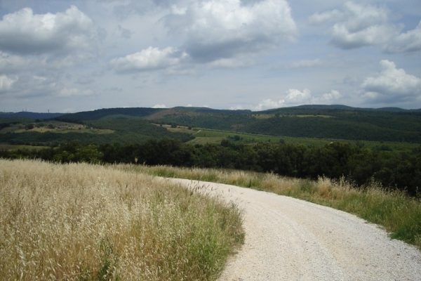
A loop path with stretches of dirt road. From Orvieto it goes down to Ciconia, cross the bridge over the Paglia river at the mini roundabout after the bridge keep left towards Ficulle-Stadio. Continues through Via dei Tigli to the second junction after the bridge in near Villa Ciconia and Pallarete. You start to go up Via delle Robinie until the road becomes steeper, always towards Pallarete. From here you have traveled about 5 km from Orvieto city. The road is busy with sharp bends and steep stretches. Ascent comes in a very wooded area in the countryside and you have to make some km interspersed with small tears rise and flat stretches. Before long the gap is substantial to the point that you find yourself higher than Orvieto (about 400 meters). Then you arrive at a point where the paved road and continue on the path well trodden dirt road, Poggente. The landscape around is green with many hills covered with olive trees and vineyards. In this rural area, there are in fact several farms and agri-tourism activities.
From here its about 3-4 km of white road up to a junction that leads right to the village of San Bartolomeo and left instead initially descends to San Faustino – Morrano (follow the sign for a local agricultural company The Rocks). Takes the latter direction left down hill. At this point until reunification with the paved main road you go about 3 km going up a dirt road surrounded by greenery and quite challenging. When you come out on a street about 400 mt from the farm Borgo San Faustino and Villa Laura, located at about 500 meters above sea level.
From San Faustino you take left towards Morrano to return to Orvieto. The path in this case will be about 16 km and a large extent especially in the beginning it comes to long stretches of asphalted descent of the provincial road 101. The descent continues for much of the path passing in the middle of the village of Morrano and then you go down even up to Pian del Vantaggio and the town of Ponte di Ferro.
From here after a short flat stretch you come to a junction where you turn left towards Orvieto. About 400 meters uphill and then you resume the descent that leads quickly to the plain of the town. From here the path to Orvieto city that is accomplished in about 5 km passing through Ciconia and Orvieto Scalo to resume the last uphill stretch leading up to the center.


