- Starting point: Orvieto-Sferracavallo
- Distance: approx. 26 km
- Maximum altitude: Parco di Villalba 716 mt
- Average incline: 3.7% (max 6.3 %)
- Interesting sights: Allerona – Bardano (the exact geographic “center of Italy“)
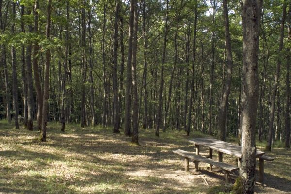
- Destination: Parco di Villalba
A beautiful route approximately 25 km with the first part from the village of Sferracavallo continue towards Bardano-Allerona through a long flat stretch up to Le Prese.
At the next junction turn right to Allerona keeping an eye on the signs to the Parco di Villalba. Pass over the bridge of the Paglia river and arrive at the village of Pianlungo. At the main intersection turn left always in the direction of Allerona-Villalba.
Shortly after passing Pianlungo the road starts to climb with long curves and the surrounding landscape is colored green with large forest areas. After a few kilometers of climbing some of it challenging, you reach the village of Allerona. After passing Allerona and a short downhill stretch the road rises again with some challenging slopes.
Continue the climb for another stretch of road, the landscape here is almost the mountain and you find yourself in the midst of silent woods until you reach the park of Villalba reported by wooden signs. Here you can refresh in the shade of big trees.


