- Starting point: Orvieto-Ciconia
- Total distance: approx. 17 km
- Maximum altitude: Monte Peglia 766 mt ca.
- Average incline: 3.5% (max 5.6 %)
- Interesting sights: Parco dei Sette frati
- Destination: Monte Peglia – Parco dei Sette frati
A more challenging path of about 17km and an altitude difference of 626 meters. Starting from Ciconia hospital rotary, follow the signs to Colonnetta di Prodo / San Venanzo. The trail is quite challenging and suggested for those accustomed to pedaling uphill. Immediately it starts with a constant slope that passes in San Giorgio to continue with a series of narrow and steep switchbacks.
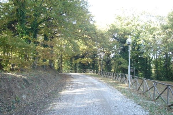
After about 8 km you reach the town of Colonnetta di Prodo at 550 mt altitude. Here take the road to the left toward San Venanzo, which continues to climb to the summit of Mount Peglia. The maximum gradient is 5.6% at almost the exact middle of the route. The route is particularly rich in vegetation. Pleasant green surroundings accompanied to the summit of the journey whose final destination is marked by wooden signs of the mountain community that indicate the beginning of the Sette Frati natural park. The whole area boasts great panorama and natural attractions, in 2018 the Mount Peglia has been declared a Mab Reserve of Unesco.


