- Starting point: Orvieto-Orvieto scalo
- Distance: approx. 16.5 km
- Maximum altitude: Civitella del Lago 476 mt.
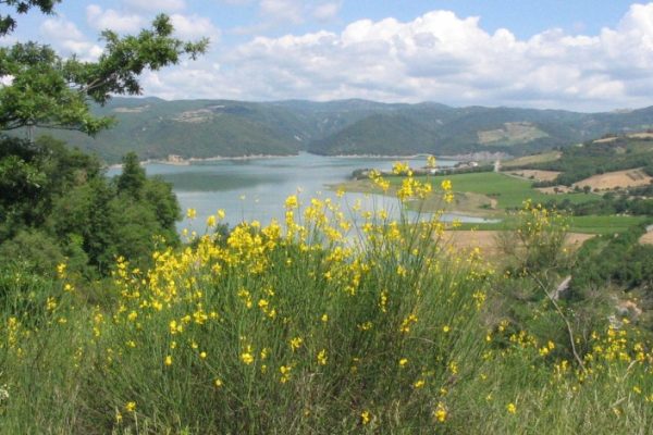
- Interesting sights: Lago di Corbara, gole del Forello, Eremo della Pasquarella
- Destination: Eremo della Pasquarella
An ideal route for mountain bikes lovers. From Orvieto go down to Orvieto Scalo and take the road to Amerina towards Baschi.
Go along a long flat stretch near the A1 highway until you reach the junction towards Corbara-Todi, take this direction on the left. Take the road SS 448, which runs along the Corbara lake and the impressive ravines of Forello. Along the highway there is a local sign for the excursion center “Pasquarella” and once you arrive in the vicinity of Salviano take a farm road and arrive at Civitella del lago in about 6 km (476 mt).
From here after a short stretch of asphalt in the direction of the beautiful Elce pass, the road climbs up for 8 km and from here onwards lil path is more challenging along narrow paths, even rough in the woods until reaching the charming Hermitage of Pasquarella. A pleasant digression in the area is a visit to the village of Scoppieto where lie the remains of an ancient Roman kiln.


