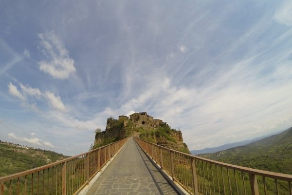
- Starting point: Orvieto
- Distance: 18 km approx.
- Maximum altitude: Civita di Bagnoregio 491 mt
- Interesting sights: Civita di Bagnoregio, il “paese che muore”
- Destination: Belvedere di Civita di Bagnoregio
A route less than 20 km long starting from Orvieto to get to the viewpoint of Civita di Bagnoregio.
The route includes a descent from the cliff of Orvieto to the airport to then take the direction of Canale Nuovo on the Sp 12. This first part of the route is uphill passing through a hilly landscape from which opens a beautiful glimpse of Orvieto’s profile. When the road begins to return to the plains, among numerous fields of grapevines and olive trees, take to the left the secondary road indicating the località Il Botto. Continue on this area (called Grepe) particularly beautiful and with few trafic, between farmhouses and rural harmlet. Once you reach a crossroad that crosses Camporena, continue right towards Lubriano town until you cross Via Aldo Moro and then take the provincial road 55. Descend towards the center of the village of Lubriano and then take the uphill road to the right. At the next junction, left along the Sp 6 (following the brown sign indicating “Civita di Bagnoregio”), continue until you reach the town of Bagnoregio in a short climb and descent until you reach the large square Pizzale Battaglini (parking of tourist buses and car). From here take Via Fidanza and continue straight until arrival (Belvedere). From here to continue there is a stretch to go down with a staircase that connects to Via Bonventura Tecchi (avenue leading up to the entrance to the Civita bridge).


