- Starting point: Orvieto
- Distance: approx. 35 km
- Maximum altitude: 580 mt
- Average incline: 4.5% (max 6.6 %)
- Interesting sights: Castello di Castel Viscardo
- Destination: Orvieto
Itinerary of approximately 35 km of paved road. Starting from Orvieto center, go down to the village of Sferracavallo, then from here, take the road in the direction of the former airport Viceno-Castel Viscardo. Along a long stretch of straight flat slightly bumpy road, with quiet countryside mostly cultivated with vineyards and wheat.
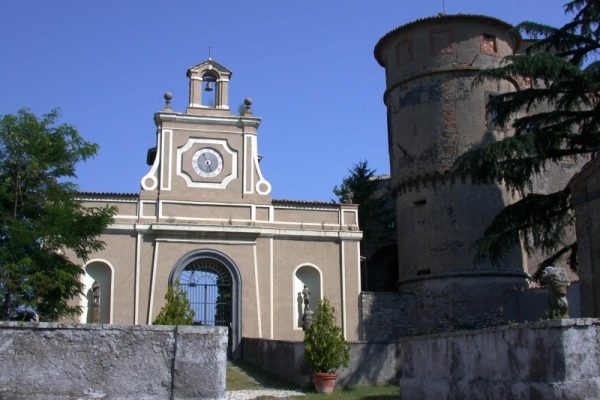
The stretch is plain to the bridge over the Romealla river, and from here begins a gentle climb. Before you arrive at the junction for Viceno, continue straight on along Castel Viscardo, after the first kilometers slightly uphill, the route becomes more challenging, the surrounding area becomes less dense and start a series of several hairpin turns that climb with slopes between 4% and 6%, the last part of the 15 km to Castel Viscardo are characterized by the presence of the beautiful Giunti castle in the center of medievale Castel Viscardo, past the arch overlooking the main road and walk the main street right in the direction Castel Giorgio. Go along the boulevard to the end of the village and from there it will take about 6.5 km to reach Castel Giorgio. At the end of the avenue the road starts to climb. The relatively short path that leads us to Castel Giorgio passes on roads straight slightly slop and find the plains of Torre Alfina and the namesake of the airfield still used mostly by ultralight vehicles.
From the airfield you travel a few km to get then to the village of Castel Giorgio about 600 meters altitude. After a brief stop to the village take the road back to Orvieto through the other side; from this point to Orvieto it is about 18 km, a good part of flat and descent.
From Castel Giorgio take the road that passes through the village of Casa Perazza a beautiful rural area, then you get to the fork in Buonrespiro. Turn left down towards Orvieto and from the crossroads you will cross the villages of Villanova (450 mt) Tambourino and Gabelletta. Once in this town you are at the foot of the cliff of Orvieto, at 3-4 km short climb you arrive back in the center of the city.


