- Starting point: Orvieto
- Distance: approx. 32 km
- Maximum altitude: Parco di Villalba 536 mt
- Average incline: 3,2 % (max 6,7 %)
- Destination: Orvieto
A journey that starts from Orvieto Scalo and ends at the foot of Monte Nibbio near the village of Ficulle. The first part provides an easy flat path along Via dei Tigli and La Svolta.
After about 4.5 km from the start along highway 71 begins the climb. The first part provides a rapid sequence of bends with even steep gradients . After a few uphill curves you are situated in the locality of Pian del Vantaggio (towards Bagni-Ficulle) with a long flat straight section.
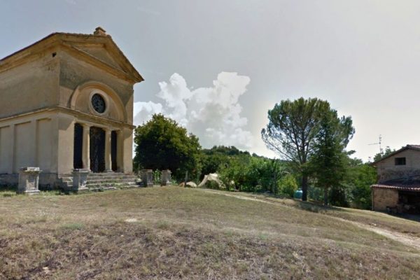
Continue straight to the village of Bagni. Here you will quickly reached a road on the right (Strada dei Poggi) whose entrance is flanked by two tall pines. Continue on this street that after a short stretch of asphalt becomes dirt, close to a small old mausoleum that stands on the right.
As you go along this road, the slope tends to increase and the landscape becomes more green and wild. The road is white but well beaten before and after a more demanding stage have taken softer and flatter. Along the route there are two houses and, just past the second, the road begins to descend even looks a little more bumpy. Still a part downhill until you cross Fosso di Calenne, from here you take a left and the path rises again with a more irregular bottom and narrower track. This is the most difficult part because of the the slopes up to Poggi. From here the road becomes again beaten and adjusts with stretches of slight uphill. Then comes a group of houses before a short downhill part that runs for about 3km, until resuming a less challenging climb.
In this point the landscape opens to very beautiful open hill landscape with wheat fields.
Past this stretch, the road becomes paved again for about 300 meters and then go back to being gravel for about 500 meters until you reach the stop sign and the junction which links the state road 71 near the Monte Nibbio. Not far from Monte Nibbio which with its more than 530 meters is the highest point in the area. Turn left and take this road that, from this point for several kilometers is all downhill (following the direction of Orvieto) up to Pian del Vantaggio and La Svolta.


