- Average travel time: 3/4 hours
- Distance: 9 kms approx.
- Subject: nature
- Difficulty: low
- We suggest: comfortable shoes, sporting clothes
- No need transportation from Orvieto
From Orvieto, going down along Via della Cava – Porta Maggiore and then again follow the direction to Strada delle Conce and from here you take towards Sferracavallo (Via Adige) and immediately take the first road on the right (Strada della Patarina) and go down approx. for 1.2 kms. At the end of this descending road pay attention because you must cross the main road and once you pass it, take the path set directly in front of you.
Continue in this open countryside area and after 500 meters take the right, passing under the railway and the motorway underpass. From here, continue straight on, in this area called Pian dei Poveri walking on this road following the direction that leads to the river Paglia.
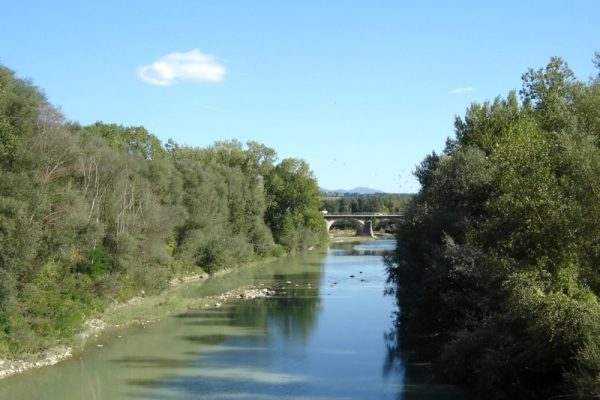
Opposite is the charming scenery of the “calanchi”. Once you get the side of the river turn right. Walk along the side of the river and after a short distance you can see the remains of the old roman bridge (Ponte delle Colonnacce).In the past this bridge was located on the main route called the Traiana Nova that connected Bolsena (Volsinii Novi) with the tuscan town of Chiusi. Going forward the route goes always easy, flat and shaded in some parts. Once you get so close to the center of a dog-center goes in this direction and then turn right passing under the motorway underpass to get to the Piazzale della Pace ( under the train and funicular stations). From here then take up the stairs and you enter the train station square where the funicular leads to Piazza Cahen, in the center of Orvieto.


